Monday Amanda & I woke up early - today was the day of the planned summit of
Mt. Elbert, Colorado's highest peak and the US's 3rd highest peak (after Denali & Whitney): elevation = 14, 433'. We took the
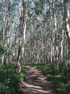
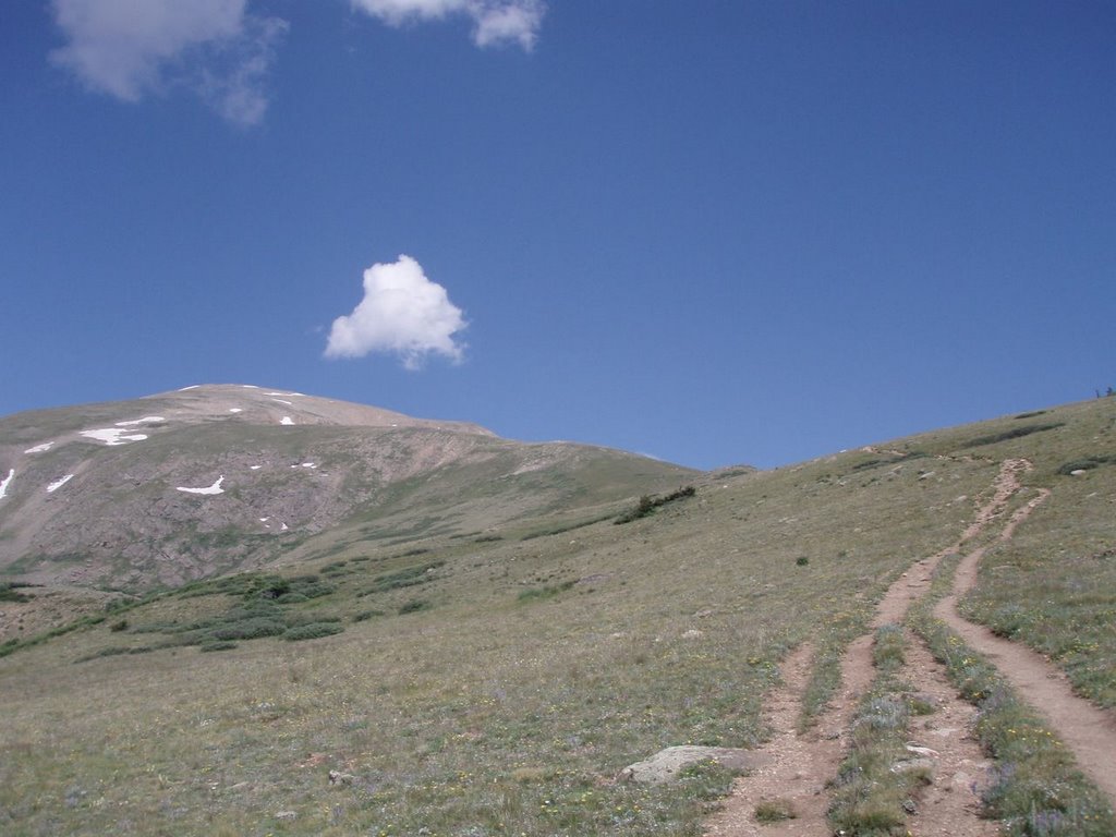
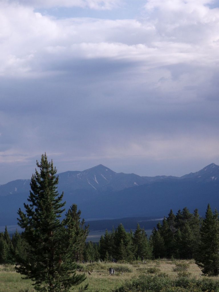
East Ridge Route, beginning at 9am (1 hour later than anticipated) with near-perfect weather. We hiked through a gorgeous aspen forest for a bit over an hour, then hit the treeline (around 11,500'). Hiking above this was very different. Back east, I'm used to being surrounded by a forest unless we're going through a relatively small field. Here though we're on our way to the top of a mtn, following a ridge where there is just a bit of grass and rocks on the ground. Very exposed. (meanwhile, Amanda says she feels claustraphobic in a forest).
We had our eye on a small storm that had popped up behind us. As we climbed higher, we watched as a few small ones formed ahead. The one growing near the summit concerned us, as we couldn't see the other side to guess what was happening. We took a bit of a break to eat & watch the clouds. The winds were picking up and sprinkles starting. The small storms ahead and begun to merge into one larger storm. I deferred to Amanda's expertise in alpine weather conditions and we made the decision to turn around. Yeah, it sucked. We were about 1400' from the top, perhaps an hour or so more of hiking. I was moving slow, but feeling good. I equated it to hour 20 or so of an adv race, where I'm falling asleep and have to walk slow and with a bit of effort, except I was alert. The altitude had kept me breathing pretty hard the entire way, but I was otherwise ok.
We started our hike down briskly, as we figured we had about an hour until we hit treeline again. Soon the thunder got closer and we picked up our pace to a steady run (finally, my CO trail run! not exactly what I was thinking though...) When some thunder came from overhead, we found the nearest boulders to lie next to for a few, to wait for the storm to pass a little bit. (An exposed ridge, while offering incredible views, is the last place to be during a brewing storm!) We then set off on our run until we hit the treeline and felt a little safer.
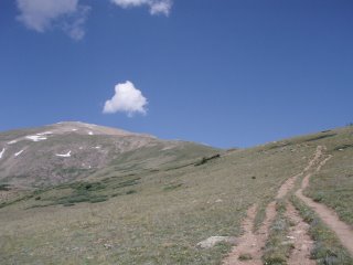 blue skies....
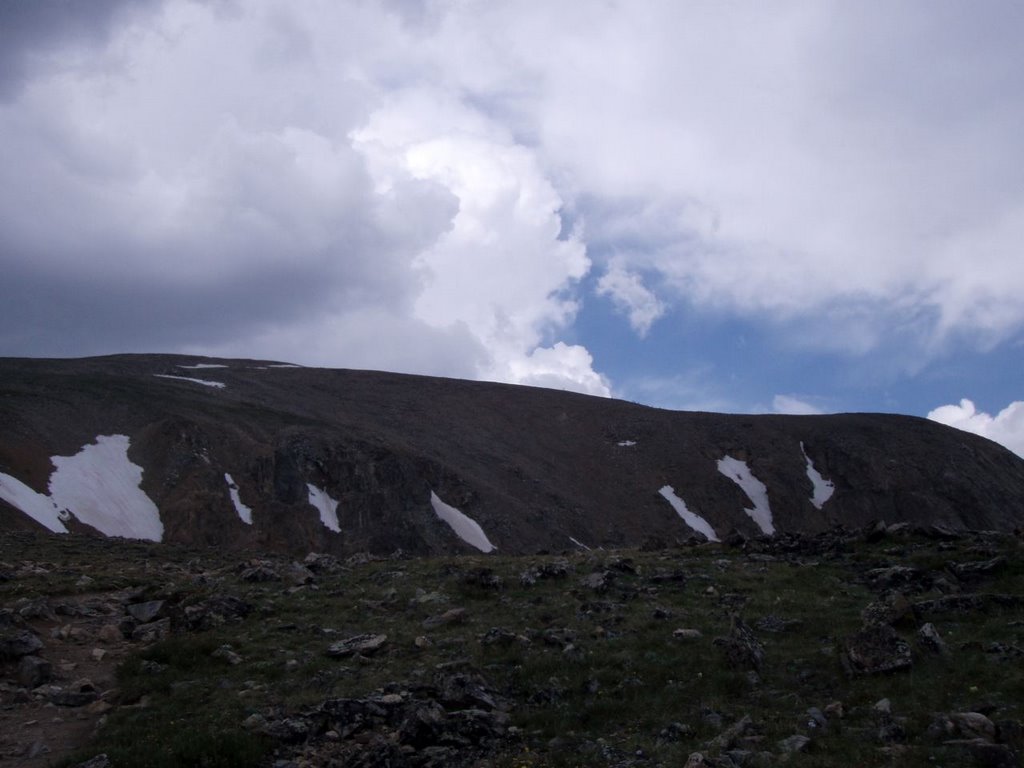
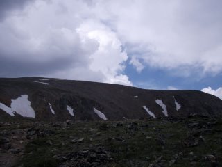 the storm brewing
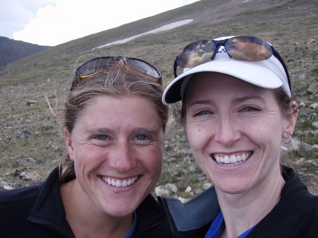
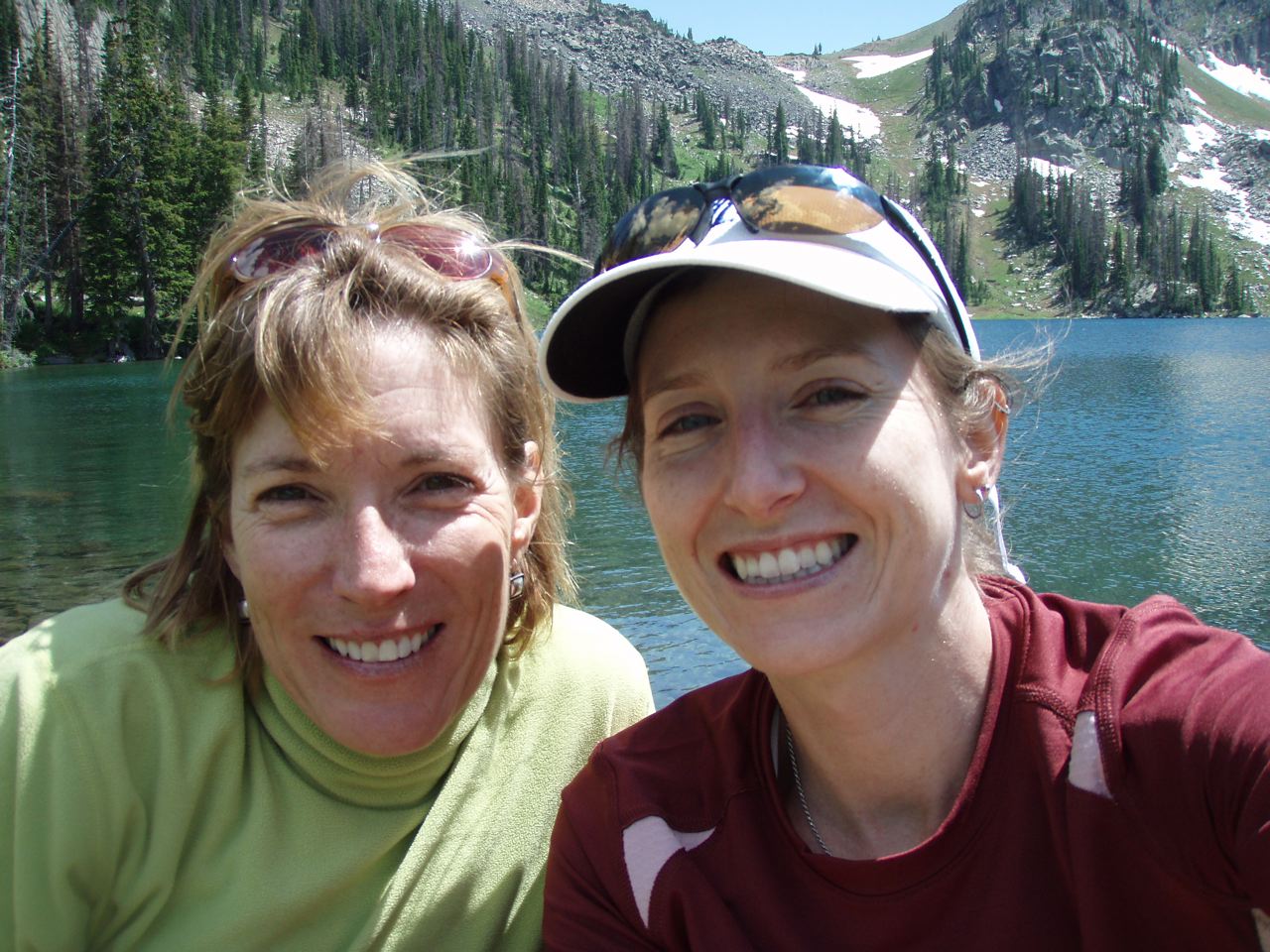
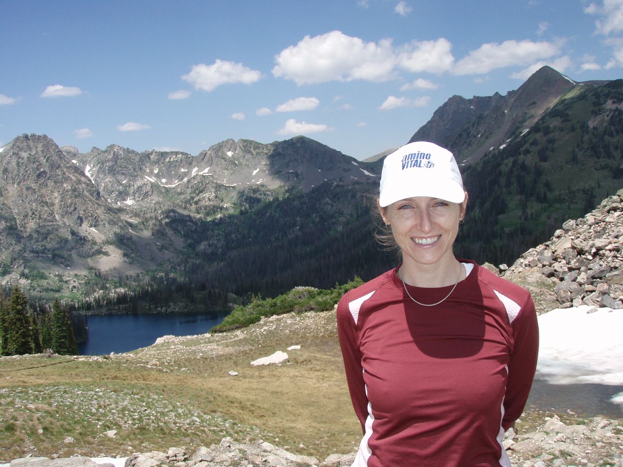
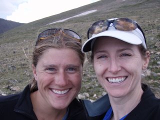 amanda and i around 13k', before turning around
After we got to our car and drove off, we had mixed feelings - it looked like it had cleared a bit, but we knew we made the right decision to turn around. We had been watching other hikers on the trails ahead of us and realized if we had started on time, we would have been right around the summit with them when the storm hit - an even worse location than where we turned around. A silver lining perhaps...
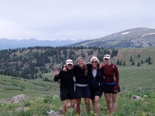
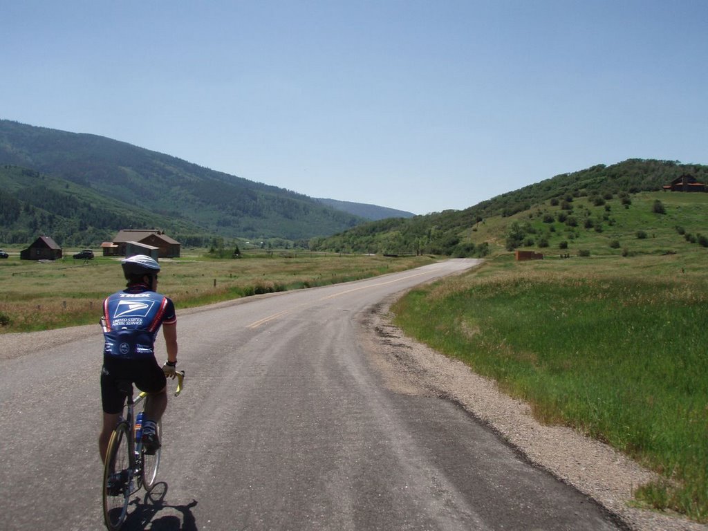
We headed back to Leadville and met up with Susan & Lorraine at the
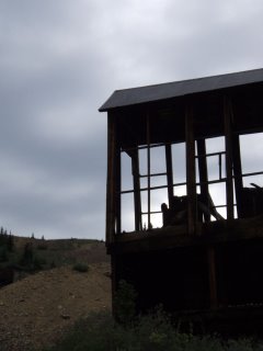
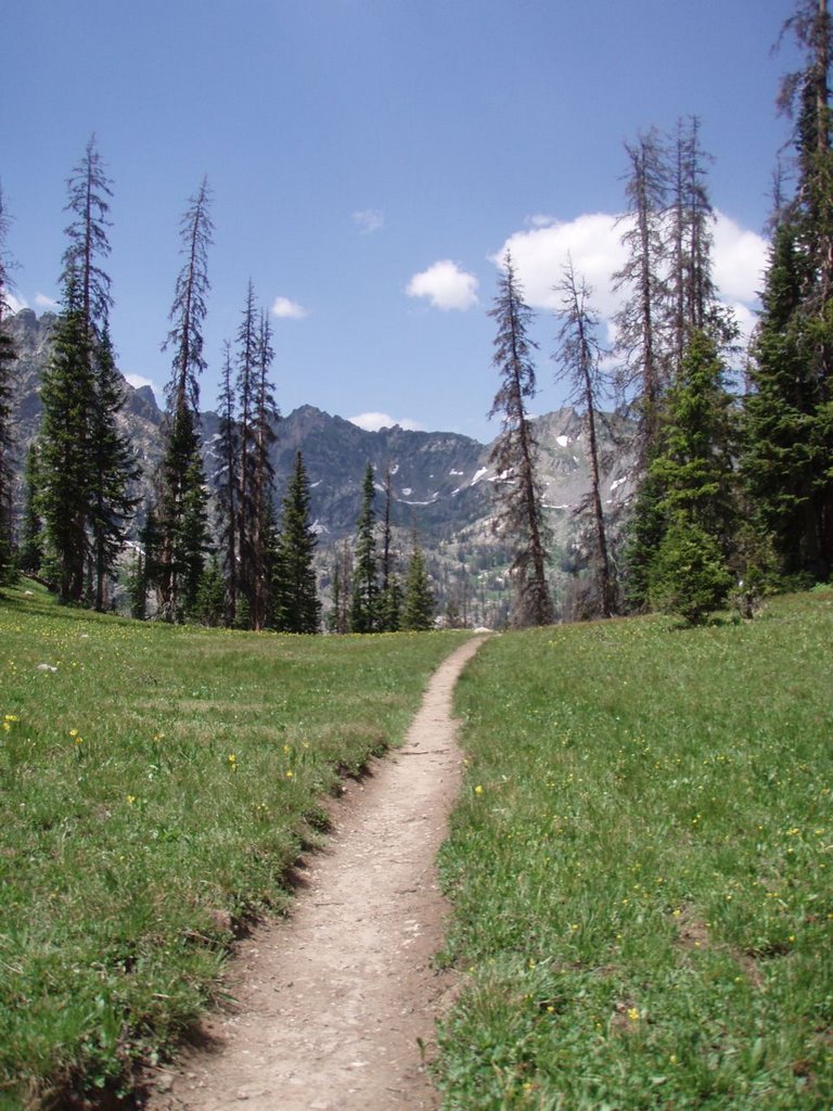
Provin' Ground coffeeshop. Then we headed to the east mountains to find a wildflower field that Cannon had mentioned. We hiked around about 2hrs and saw some beautiful flowers (and some cool old abandoned mines).

That night we me met up with Cannon & Uncle Jan for dinner at the local brewhouse, then back to the nordic center for the night. Tuesday we loaded up and headed to the airport in Denver - the end of a wonderful week that has me already planning the next trip - winter!


