that would be my feet, but i'll get to that later...
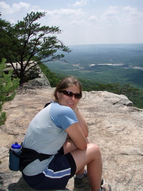
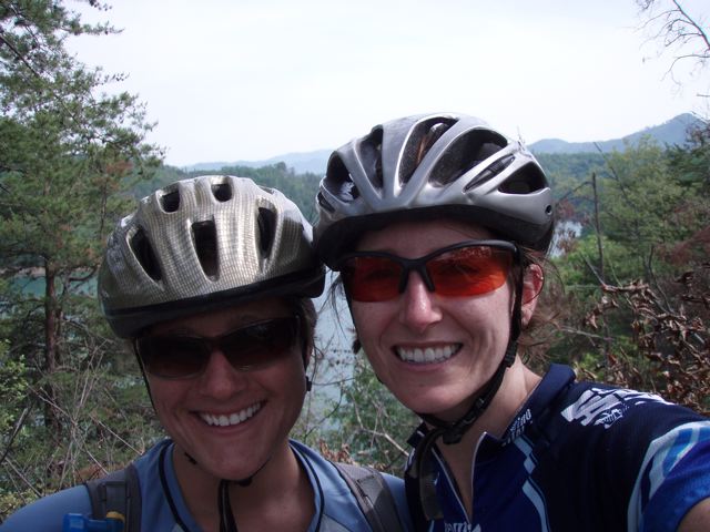
as i stated in my last post, i was highly unorganized and unprepared for this race/event. i read the racer update at 11pm the night before the event, even though it was sent out 2 weeks prior. in that update, i could have gotten 3 bonus points merely for posting a note about my "team" on the msg board. (oops!) my camelbak was full of funk from the previous weekend's ride. i was scrambling to find all the required items for my first aid kit. i got to to the race start (prentice cooper wma, up on signal mtn) a few minutes before the maps were handed out. luckily all the points were plotted, but there were a gazillion of them and strategy would be key. however, i had only 40 minutes to study the map, make a plan, and switch packs (decided to use a different one with a tad more room). the meeting was straightforward and finished a few minutes early, so we were allowed to take off. whoa! back to my car to finish loading my map in my case (ok, jim farmer's case, as mine died while ago and has not yet been replaced.) i also quickly changed out of pants into shorts, as it was going to be a scorcher and the course looked much friendlier than last years (where we bushwacked constantly through blackberry bushes).
finally, i'm ready to go! i take off... then oops, forgot to change out my sunglasses (wanted my new Tifosis). ok, off again! i head down the road, planning to take Haley Road to the west and pick up all the high value points scattered about. They were the furthest out there, but i was looking to run a lot (this was, afterall, mostly just a training event. a semi competitive one of course!). as soon as i hit haley road i remember that i forgot to grab my electrolytes. yikes!! i was planning to be out till almost 6pm (that was the deadline for starting the memory-o section). with hot muggy weather expected, this may be a problem. another potential problem would be water. i stuffed my camelbak with every ounce it could hold (100)... there would be a few streams that we could refill from & treat (but oh, the fancy water purification tabs the rock creek guys recommended don't take a mere 30min... but a whopping 4 hrs! yeah, i didn't figure that one out till 11pm friday night.)
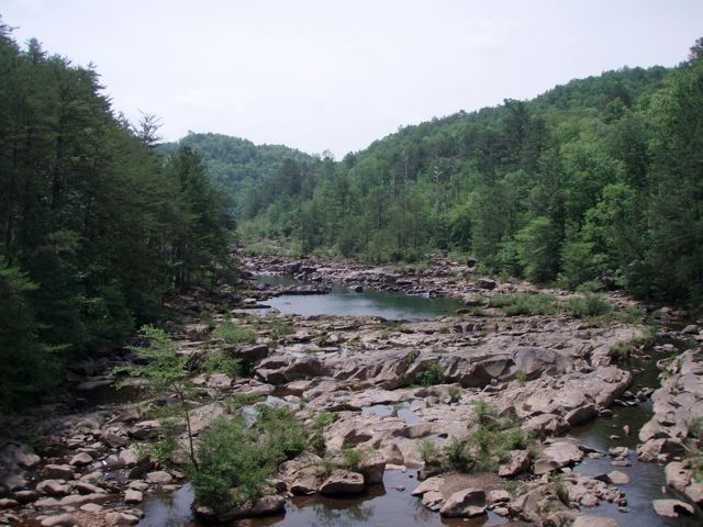
back to the course... (i wish i had a map to reference... maybe later...)
the first cp was easy and direct... directly down an embankment under what could be a nice little waterfall if there had been more than a trickle of water in the creek. i slid down, getting my butt nice & dirty (and scraped up). but the points were mine! after that, i hung with some guys i met at the wilderness first aid course a few months ago. in our talking, we blasted past our next point. i had been keeping my eye open and saw the road, but thought it was a bit too early. i made a mental note and once at my backstop (proving we had gone too far), i put it on my list to hit on the way out. i ran ahead for a bit, eventually catching up to some other adventure racers i've seen here and there (bill & mike). we hung out for almost the entire western most loop, working together to figure out the best attacks and keep our momentum going.
after awhile, i was ready to run a bit more, so i said tata and headed on. once back on the main road, i made a plan to hit 2 points on roads that jutted south, but looked pretty direct. the first proved to be a bit tricky though, as i could never find charlotte road, which would help pinpoint the clearing i needed to target. normally in an adv race, i wouldn't have concentrated so much on this, but in orienteering, maps are kept much more detailed & up to date. i knew when i had gone to far, as the terrain around me changed. i doublebacked and hit a clearing that i scouted out. i ran into my friends, team toccoa, who also were looking, although were also unconvinced we were in the right place. after thoroughly exhausting this area, we ran into kip & jessica from florida, who pointed us towards another clearing further up (that was next on our hit list anyways). voila, it was there... i had planned on heading up to the main road, but norma was itching to bushwack east to a point at the confluence of 2 streams. i decided to join them - it was sorta like old times (as i had raced with johnny & norma in the past). we headed E/SE, aiming for the lower of 2 confluences; that way, we'd know precisely where we were. but this was not quite the case. we checked out the first intersection, just to ensure it wasn't around, then headed north. at the next intersection, we ran into the first aid guys again, filtering water. i thought it best to check my supply - eeeek! about 1 oz left! knowing i was at least 2 hrs from the hash house (race hq, where we could refuel), i had no choice but to see what these 4hr tabs could do in 30 minutes. (actually, i guess i'm still waiting, as it takes 7-10 days for the symptoms of giardia to surface.) i found a rather deep, although standing puddle to scoop some water from. it was amazingly clean of debris and such and quite cool/refreshing. (i took a mini bath).
so this was our second creek intersection, but still no flag. hmm... it was possible that we were waaay low the first time. regardless, time was ticking by and we needed to get out. we needed to head north along the creek to get to the next best place to bushwack to the trail, so on we went... and low and behold, here comes yet another intersection sporting a gorgeous cp marker! once we climbed out, we hit the road running. i had a generous estimate of 2hrs from where we were, and it was already 4pm. we ran where we could, but there was a lot of steep rocky roads that slowed us down (not to mention atv'ers). surprisingly we made good time and even tried to nab one more point on our way to the HH. however, lucky #13 was hidden on a different reentrant than we were on. my feet were killing me and since it was only worth 13 points, i said forget it! i needed clean water in a bad way. (i think i ended up drinking only about 12oz of the half-ass treated water... johnny graciously gave me one of his bottles.)
back at the HH, i downed an ice cold diet dr. pepper and bagel w/PB&J, put fresh water in my pack, and a bandaid on one heel (the same blisters i've been getting with long runs were surfacing. i'm not quite sure why this happens... i hope i don't need different shoes!) i headed to check out to the memory-o, talking with some friends from the 24-hr race that were kicking back with a beer. my back was chafed pretty bad, so claire gave me a different shirt that was longer and would help (and it did, immensely!!). race officials sealed my map and phone and i was on my way. for the memory-o, a portion of the map was shown, with your location now and where you needed to go. while you can draw the map to give you pointers, you cannot take pictures or refer to your own map (hence the memory). i took off to point #1, up the road a ways, down another, and at the eastern edge of a clearing. once i got to the clearing, i checked my notes... i had the point marked on a gently sloping finger... i started to go into the woods down such a finger, but stopped. it was supposed to be at the edge of the clearing. or was it?? a bit flustered, i double backed and searched. nothing. hmm.... i decided to search the perimeter, in case i hadn't marked it right. after a bit of nervous searching, there she was.... definitely more SE than I had marked. from there on, it was much more straightforward. i followed bearings and went right to them, making good time. the final point on this section was worth 100 smackeroos. oh, how i wanted that! i ran all the way there, adrenaline kicking in and helping my mind ignore my sensitive feet. when i got to the area it was in, i ran into bill & mike, and a team of 3 women. they all had been searching a bit, but the gals had just gotten word it was in an area they checked, although just further down. off we went!! we tromped through much poison ivy (ugh!), but nailed the point. yeah!! we had plenty of time to get back before the 9pm cutoff, so we took it easy. sure, i could have run off to grab another point, but honestly my body & mind were done at that point!
we got in at 8:20pm and i happily sat down with some vegi pizza. (the main post-race meal was bbq, which i think is a great idea. but thanks to kevin & patrick who knew i didn't do pork and got me something special!) we all sat around comparing notes and strategies. finally , results were in! i ended up getting 3rd overall in the 12hr event. since it was a small event, divisions weren't separated.. but should they be, i would have gotten 2nd solo, or first solo female. more importantly, i kicked my friend jeramie's butt, who had been smack talking with me. woowoo!
this event was top notch all the way, and i'm not saying that because i work with
Checkpoint Adventures on other events. I had some issues with last year's UOG setup, but I have to say that Patrick & Kevin listened to the racers and really organized an event for the racers. (in fact, they received a comment that it was on par with the national bushwacking championships, which i think is a huge honor!) i know the 2 of them have another event brewing for the fall, which should be something to check out!
it's now 2 days later and while stiff, my body is recovering. my feet only hurt slightly to walk, the cuts are slowly healing, and my chafed back is scabbed over so now i can shower. i'm now just waiting on fresh poison ivy to break out, and hopefully NOT see anything resembling a giardia outbreak. fingers crossed!!
Labels: race report, tn