
EARTH to CO
I finally put Google Earth on my computer - a bad thing, as I can see much time spent looking around. But, I pulled up some of the areas I went in CO and thought it was pretty cool to see a 3D rendering of the area.
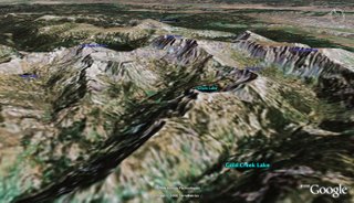
shows Gilpin and Gold Creek Lakes from the Thrusday Hike with Lorraine. Big Agnes & Mt Zirkel can also be seen.
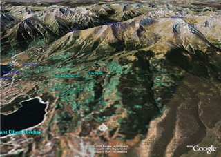
Mt Elbert, with the left ridge showing our path of ascent.
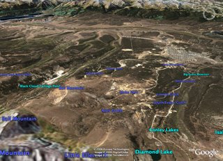
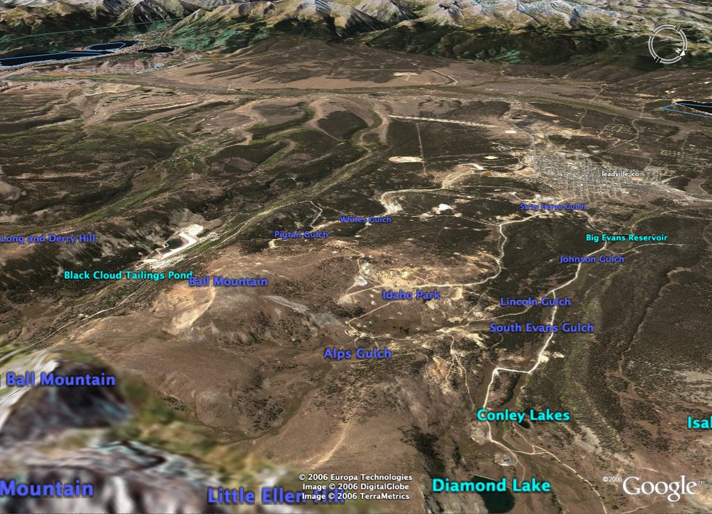
shows Leadville nestled between the mtns. The wildflower field is in the Alps Gulch in the foreground. In the back, Twin Lakes can be seen (with Mt. Elbert just behind).


posted by cathi at 7:48 AM
![]()
0 Comments:
Post a Comment
<< Home